Íslensk sjókort og aðrar útgáfur eru seldar í gegnum umboðsaðila hérlendis og erlendis, sjá skrá yfir sjókortasala.
Rafrænum sjókortum er dreift gegnum IC-ENC. Hér má sjá dreifingaraðilana: https://www.ic-enc.org/distribution
Virkar Siglingaviðvaranir eru uppfærðar af Stjórnstöð Landhelgisgæslu, við útgáfu þeirra.
Leiðréttingar í sjókort eru birtar í Tilkynningum til sjófarenda.
Vitaskrá er uppfærð samhliða Tilkynningum til sjófarenda.
Kortaskrá sem inniheldur upplýsingar um sjókort, handbækur og sjókortasala, er uppfærð reglulega.
Sjávarfallatöflur eru gefnar út fyrir hvert ár, aðgengilegur á vefnum.
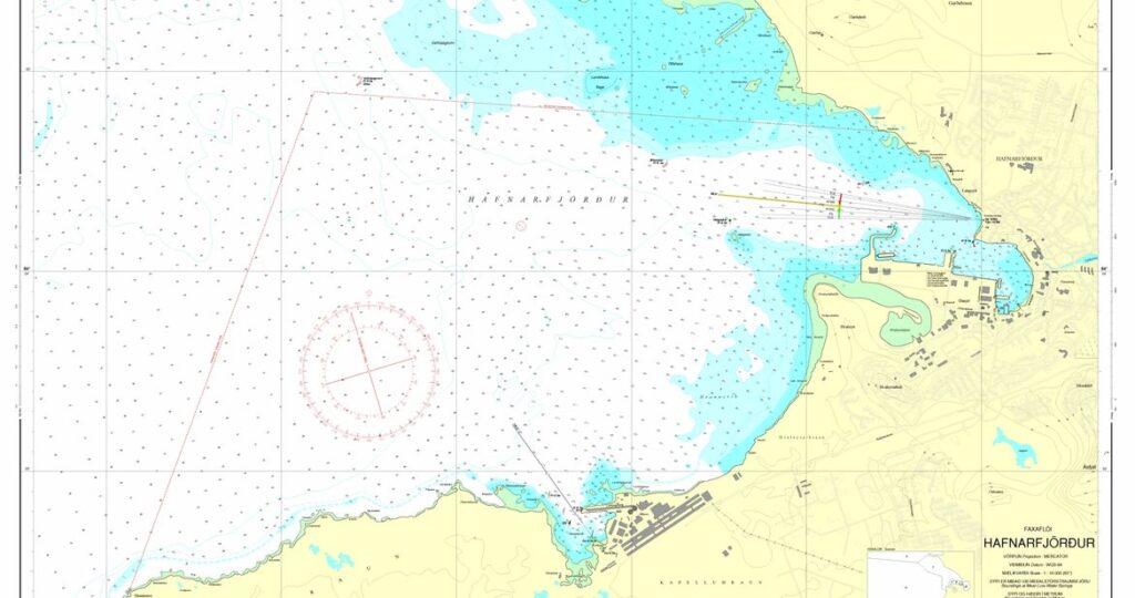
Sjókort eru sérhæfð kort ætluð til að mæta þörfum sjófarenda. Þau sýna m.a. dýpi, botngerð, lögun og einkenni strandar, hættur, sjómerki og staðsetningu og ljóseinkenni vita. Leiðréttingar á sjókortum eru birtar í Tilkynningum til sjófarenda sem Sjómælinga- og siglingaöryggisdeild Landhelgisgæslunnar gefur út reglulega. Það er á ábyrgð notandans að fylgjast með tilkynningunum og færa í viðkomandi sjókort.
Samkvæmt 10. gr. 5. mgr. reglna um björgunar- og öryggisbún að íslenskra skipa (nr. 189/1994) ber skipstjórnarmönnum að hafa prentuð sjókort um borð í skipi sínu en þar segir:
Sérhvert skip skal hafa nýjustu útgáfu nauðsynlegra sjókorta, þ.e. yfirsiglinga- og sérkort. Nauðsynleg tæki skulu vera til að setja út í sjókort svo og vitaskrár, flóðtöflur og nauðsynlegar leiðsögubækur fyrir þau svæði sem fyrirhugað er að sigla um. Leiðréttingar, sem fram koma eftir útgáfu korts og birtar eru í tilkynningum til sjófarenda skulu færðar í kortin. Aðrar leiðréttingar sem birtar eru skal heimfæra þar sem við á.
Í viðauka reglugerðar um öryggi fiskiskipa sem eru 15 metrar eða lengri að mestu lengd, viðauki 1, X. kafli, 4. regla (122/2004) segir:
Siglingaáhöld og sjóferðagögn.
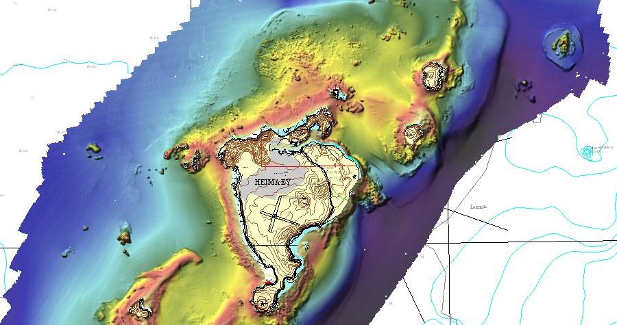
Vestmannaeyjar 2006
Sjókort eru frábrugðin öðrum kortum og notuð á annan hátt. Það felst m.a. í að breytingar eða leiðréttingar á sjókortum eru birtar í Tilkynningum til sjófarenda (T.t.s.) sem eru að jafnaði gefin út í lok hvers mánaðar en oftar ef þurfa þykir. Þar er greint frá atriðum sem færa þarf inn á sjókort og er á ábyrgð notandans að fylgjast með og færa tilkynningar í viðkomandi sjókort. T.t.s eru sendar notendum sjókorta sem þess óska, þeim að kostnaðarlausu. Einnig er hægt að nálgast T.t.s. hér á vefnum á pdf sniði.
Upplýsingar um dýpi eða annað er snýr að siglingum eru uppfærðar með nýrri útgáfu af sjókorti eða með nýrri prentun séu breytingar minniháttar. Á hverju sjókorti eru upplýsingar um hvenær það var fyrst gefið út. Hafi kort komið út í nýrri útgáfu er þess getið sérstaklega.
Íslensk sjókort eru öll í Mercator-vörpun og ný kort eru á WGS-84 láréttri viðmiðun. Eldri kort eru ýmisst í Hjörseyjar viðmiðun eða Reykjavíkur viðmiðun. Dýpi er miðað við meðalstórstraumsfjöru. Dýpi og hæðir eru í metrum.
Í sjókortum er ekki rúm fyrir allar þær upplýsingar sem sjófarendum eru nauðsynlegar og eru þær því gefnar út í sérstökum ritum, sjá bls. 13 í Kortaskrá.